
Case Studies
Marmel Enterprises delivers spatial science, geoscience and information management projects across environmental management, exploration, regional development and digital spatial tools. These case studies show how clear analysis and structured interpretation support better decisions.
New !
Marmel Enterprises continues to evolve and look for advantage for the Northern Territory.
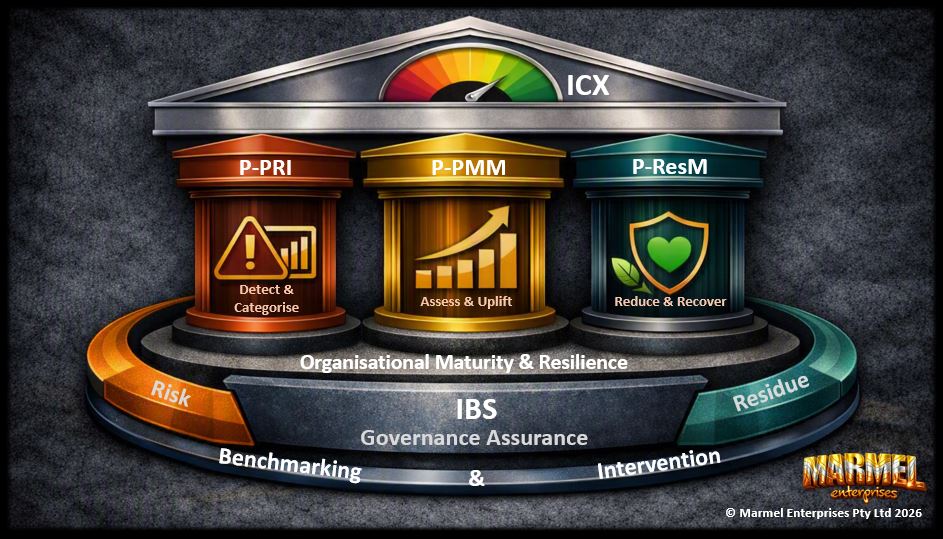
Integrated Regional Governance Framework (IRGF)
(IRGF) is a governance discipline designed to measure and strengthen psychosocial integrity across organisational and supplier relationships.
It provides a structured way to understand how interactions, behaviours, and governance conditions contribute to psychosocial risk — aligning with the intent of AS/NZS ISO 45003:2021 Psychological Health and Safety at Work, which emphasises systematic identification and management of psychosocial hazards.
These collectively enable organisations to meet their obligations under Australian legislation and regulations and operationalise international standards around successful governance of psychosocial hazards in the workplace.
Find out more via the button below.
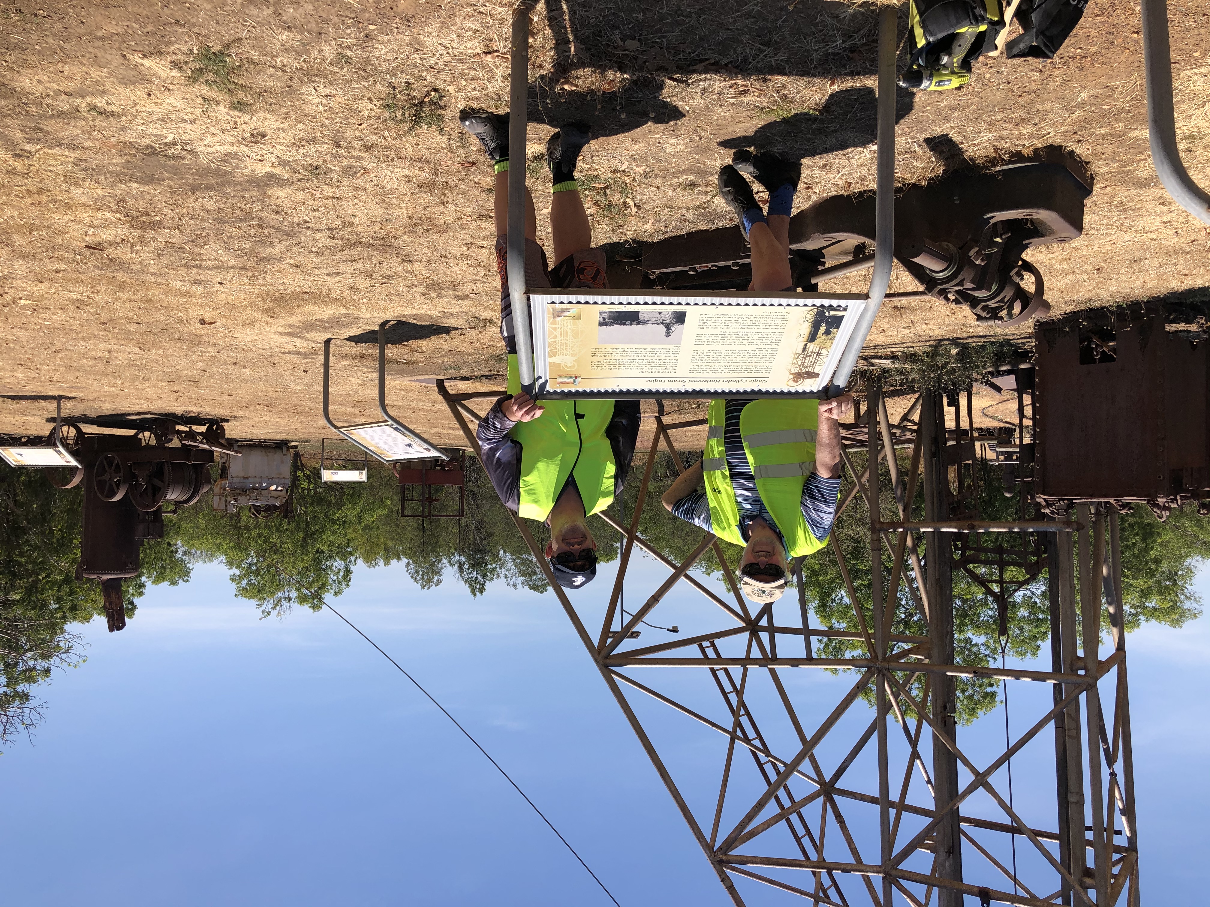
Pine Creek Geotrail - Phase 2
The Pine Creek Geotrail Phase 2 contines the work from Phase 1 (2021 to 2026) to augment the existing attractions and introduce new physical and virtual attractions to the historic Pine Creek township.
Key activities proposed under Phase 2 include:
- Geological Rock Walk - celebrating the 2.5 billion year geological history evident in the NT!
- Upgrade of heritage, wayfinder, and informative signage - various sites around the township
- Significant digital enhancements - including a major uplift of Augmented Reality (AR) components to Miners Park and Geotrail attractions
If you are interested in whats been achieved to date, the Phase 2 proposal, or looking to support or contribute in some way, follow the links below.
Find out more via the buttons below.
Spatial intelligence and digital storytelling
Marmel Enterprises has completed several innovative projects involving spatial data.
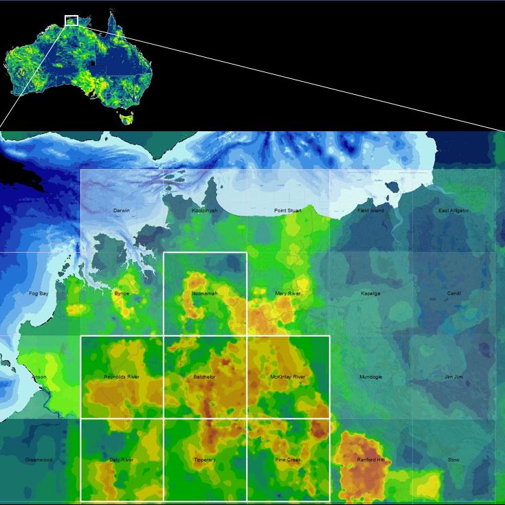
Australian Exploration Heatmap
This project visualised the mining history of Australia using non-geoscientific historical mining titles data from each state and Territory, presented with a consistent visualisation theme.
This shows historical mining interest across Australia and can be used as a comparison point for contemporary exploration or mining production activity.
Click below for information on NT Mining, Energy and Geoscientific data.
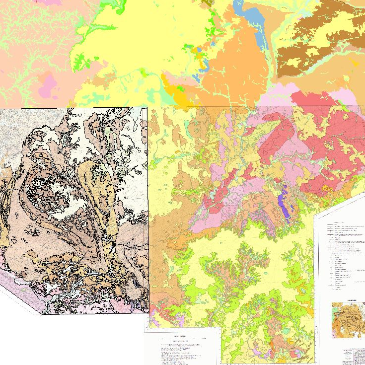
Geological Map digitising
This project had a much different focus, digitising 23 x 1:100,000 geology maps published between 1974-1990 into a contemporary GIS-ready format and structure. Selected features from these maps have been procured by the Northern Territory Government's Geological Survey for the production of a compiled 1:100,000 scale geological product across the Pine Creek Orogen - a known multi-commodity mineral province - which will be released in the future.
If you are interested in this data, or want to procure my original digitised datasets, submit a request below.
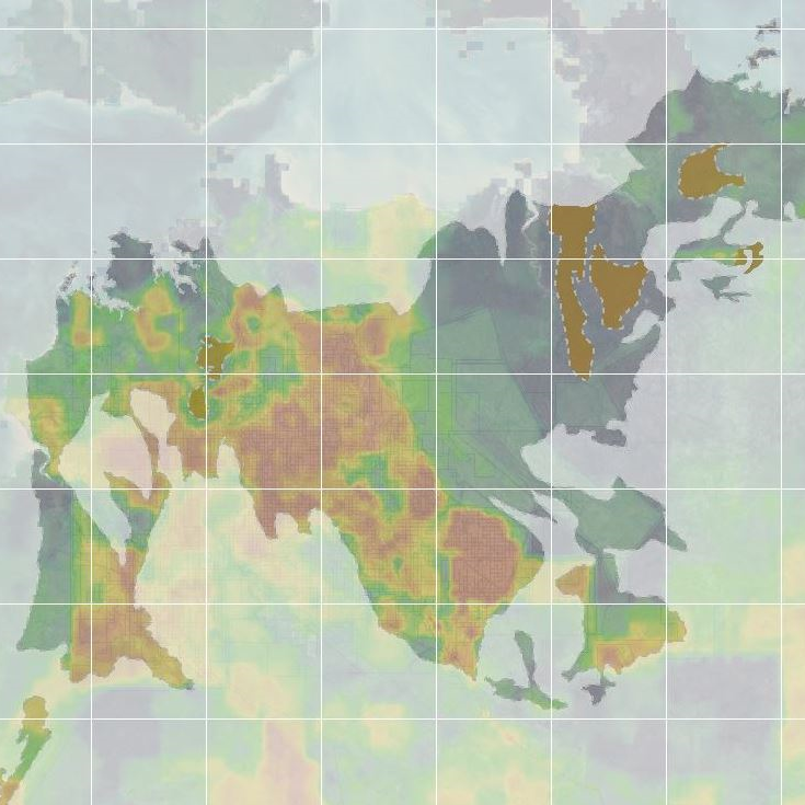
Pine Creek Orogen Historic Mining
Combining the mining interests heatmap with a geological regional overlay provides an indicator of where in mining interests have historically been focused within a particular geological province. Inclusion of other datasets, such as geological or exploration-based information may yield additional regional or economic insights.
Marmel Enterprises has a diverse base of experience in geospatial data management and usage and can offer unique insights into your data. Inquire below.
IT Architecture
IT Architecture is loosely divided into 5 main domains and 2 scopes.
Domains include:
- Business (including Strategy and Portfolio)
- Application
- Information (including data)
- Technology, and
- Security
Scope includes:
- Enterprise, and
- Solution
Marmel Enterprises focus is on the Business, Application and Information/Data domains and can work at an all-of-organisation strategic enterprise level or drill into tactical or operationally focused specific solutions that your business requires.
Given our interest and experience in spatial systems and other niche areas, we are uniquely positioned to offer advantages other consultancies cannot replicate.
Request information: Architecture Services
Geotourism and Geotrail Developments
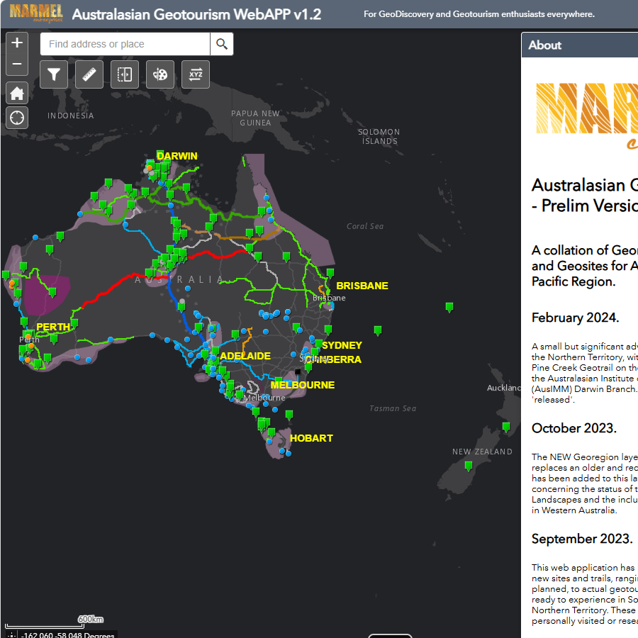
Australian Geotourism WebAPP
A collation of Georegions, Geotrails and Geosites for Australia and the Asia-Pacific Region, compiled from government, tourism and industry.
Explore Australian Geotourism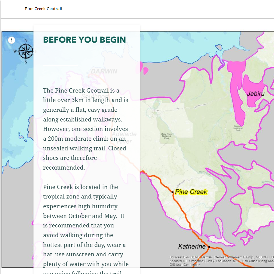
Pine Creek Geotrail
The Pine Creek Geotrail outlines the sites, features and attractions from the significant mining and pioneering heritage in the area.
Pine Creek Geotrail site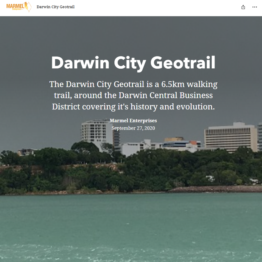
Darwin City Geotrail
The Darwin City Geotrail is a 6.5km walking trail around the Darwin CBD, waterfront and esplanade covering it's history and evolution.
Darwin City GeotrailThese StoryMaps can be embedded directly into project pages or linked via static previews, offering clients an intuitive way to explore complex information. The examples below showcase work completed to date.
A new regional highlights geotrail is currently in development to showcase geoscientific features around the top end through a collaborative effort with a Western Australian based Geologist with an extensive knowledge of the geology of the Northern Territory.
Planning for Darwin City and Pine Creek Geotrail 'Phase 2' enhancements are already underway and are envisaged for 2027-2028.
Get in touch if you want to know more about NT Geotourism or geotrail developments, or are interested in future projects.
Legacy Case Studies
The following legacy item were produced for clients during the period 2016-2021.
Banks Hockey Club membership study
Spatial analysis of club membership to understand where members live, how close they are to facilities and how membership patterns changed over time. Outputs included density maps and suburb-level indicators to support targeted growth and planning.
Sports club membership study (PDF)Weeds Management
Conversion of GPS waypoint data from field devices into maps, spreadsheets and KML files for weed management operations. Supported compliance with the Weed Management Act and clearer communication of treatment areas.
Sports club membership study (PDF)Roger Gulf LGA study
1. Regional assessment of exploration activity using current and historical mineral titles, classified by exploration/production and granted/application status.
2. Visualisation of drill holes and geochemistry datasets (whole‑rock, soil, stream sediment) to understand exploration maturity and data density.
3. Synthesis of operating mines, mineral occurrences, geological provinces and major faults to provide regional prospectivity indicators.
Roper Gulf study - part 1(PDF)
Roper Gulf study - part 2 (PDF)
Roper Gulf study - part 3(PDF)
Testimonials
Selected comments from clients and collaborators.
“Clear, structured and insightful spatial analysis that helped us understand our membership and plan for growth.”
“Professional, reliable and able to communicate complex geoscience concepts in a way that made sense to our team.”